Canal Trail
Roanoke Canal Trail


Church – Hospital
View the site where once a Church stood that became a hospital during the Civil War.
Some of the foundations stones are still on the site (the house is a more recent build).
Read the signage at this site to learn more.

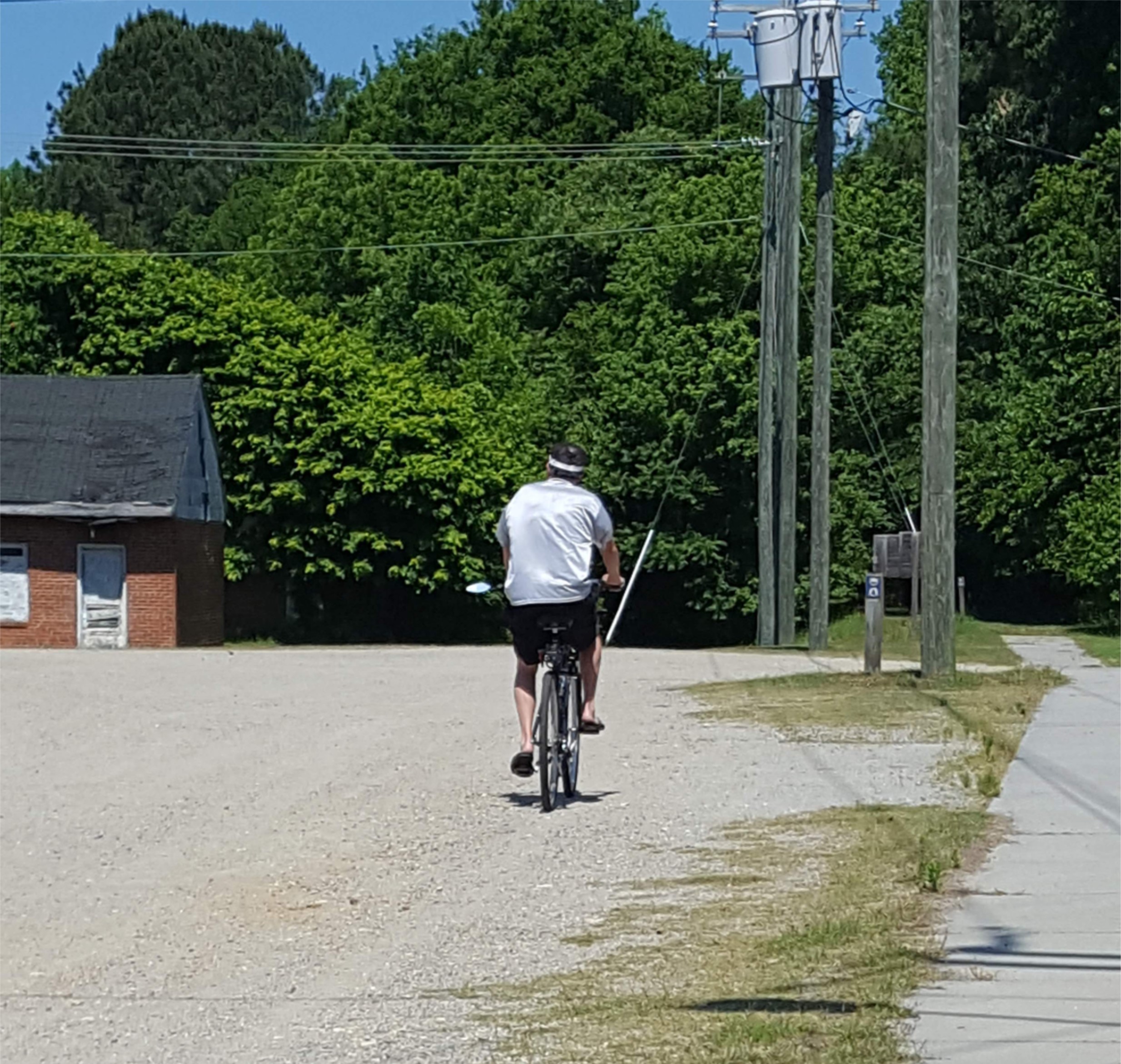
Walk or Ride A Bike
It’s 3/4 of a mile to the Roanoke Canal Aquaduct and Observation Deck. It’s an easy walk, but if you prefer, Check Out a Free Loaner Bike.
Avalible inside of Riverside Mill.
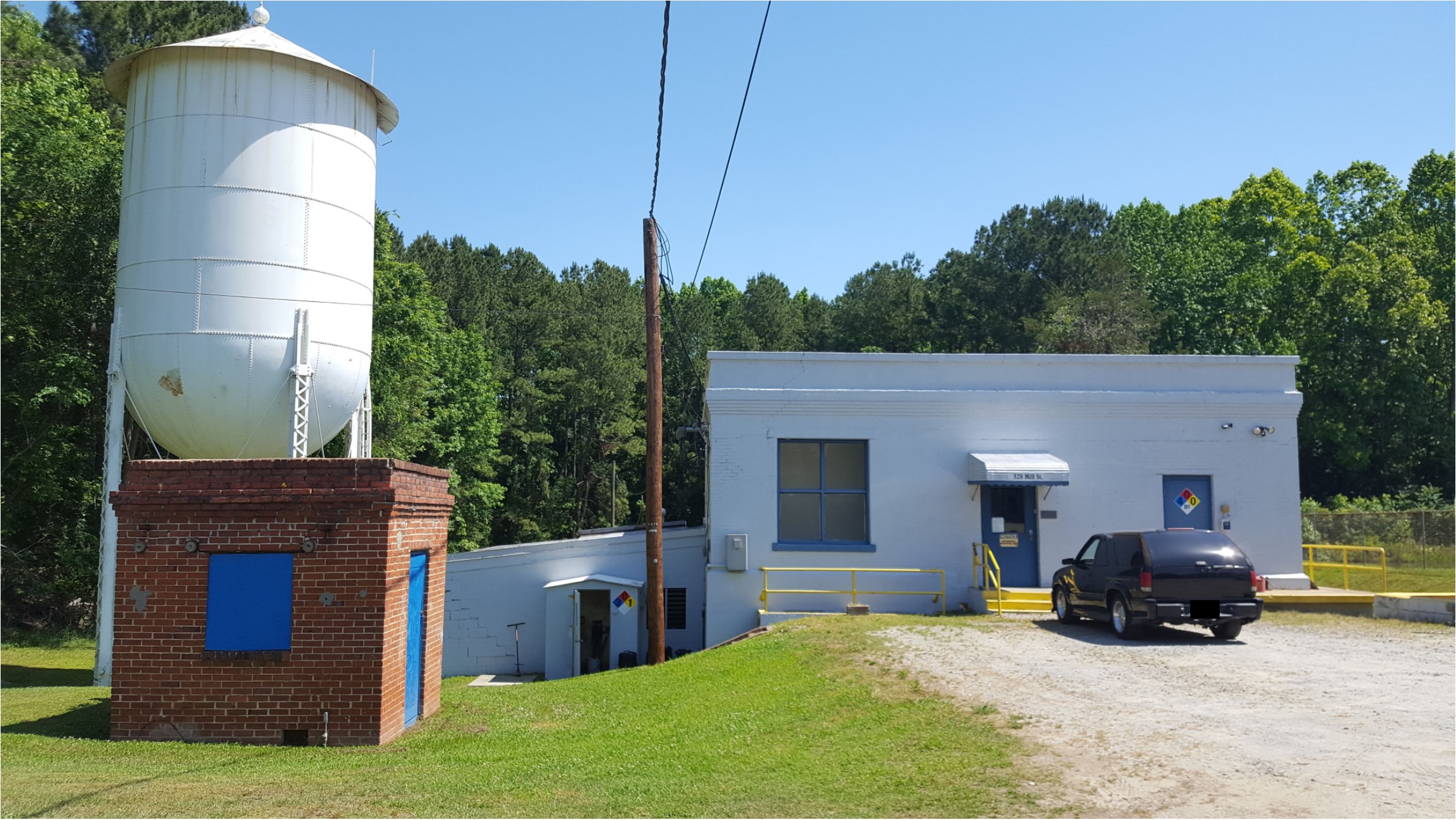
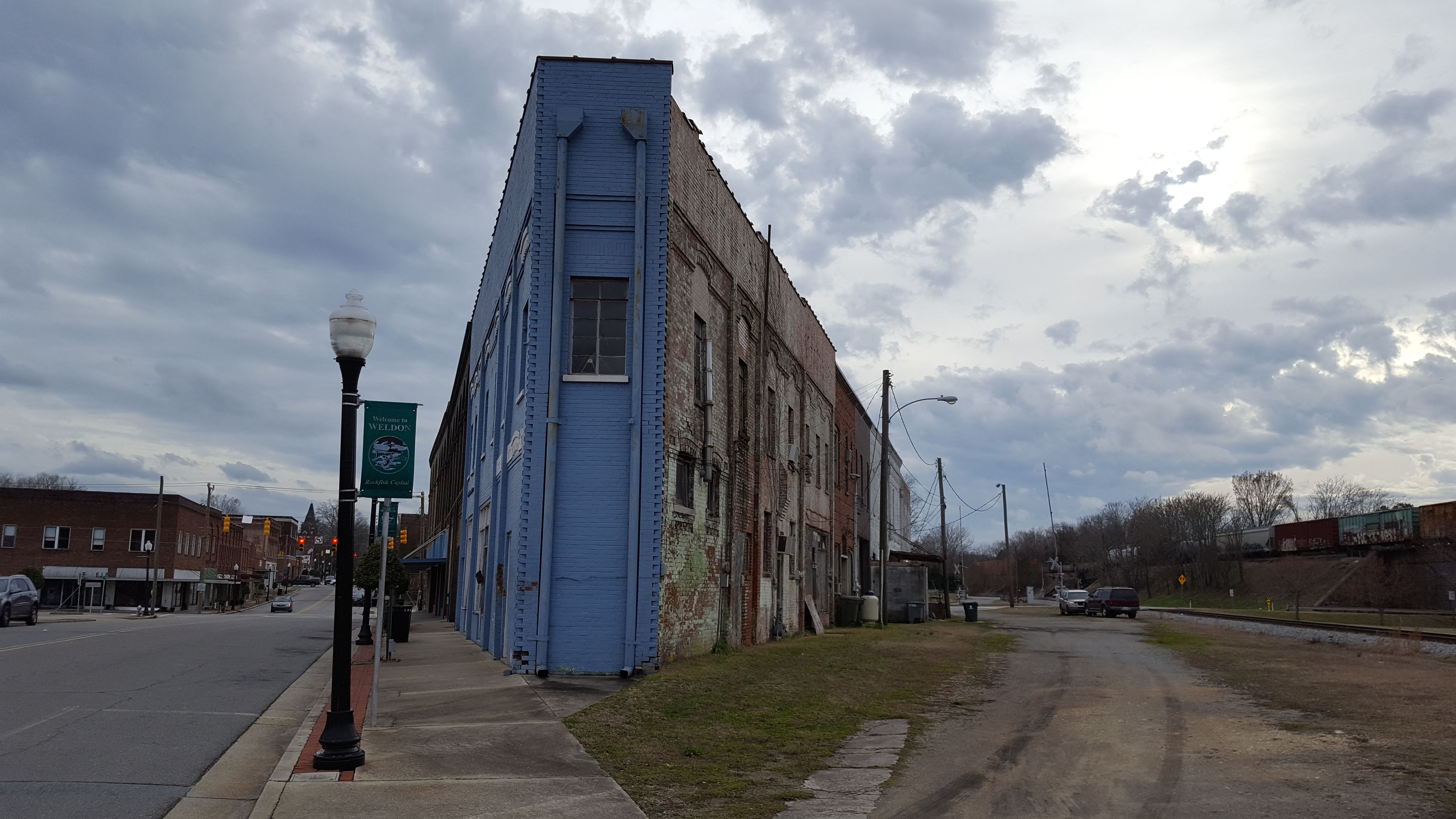
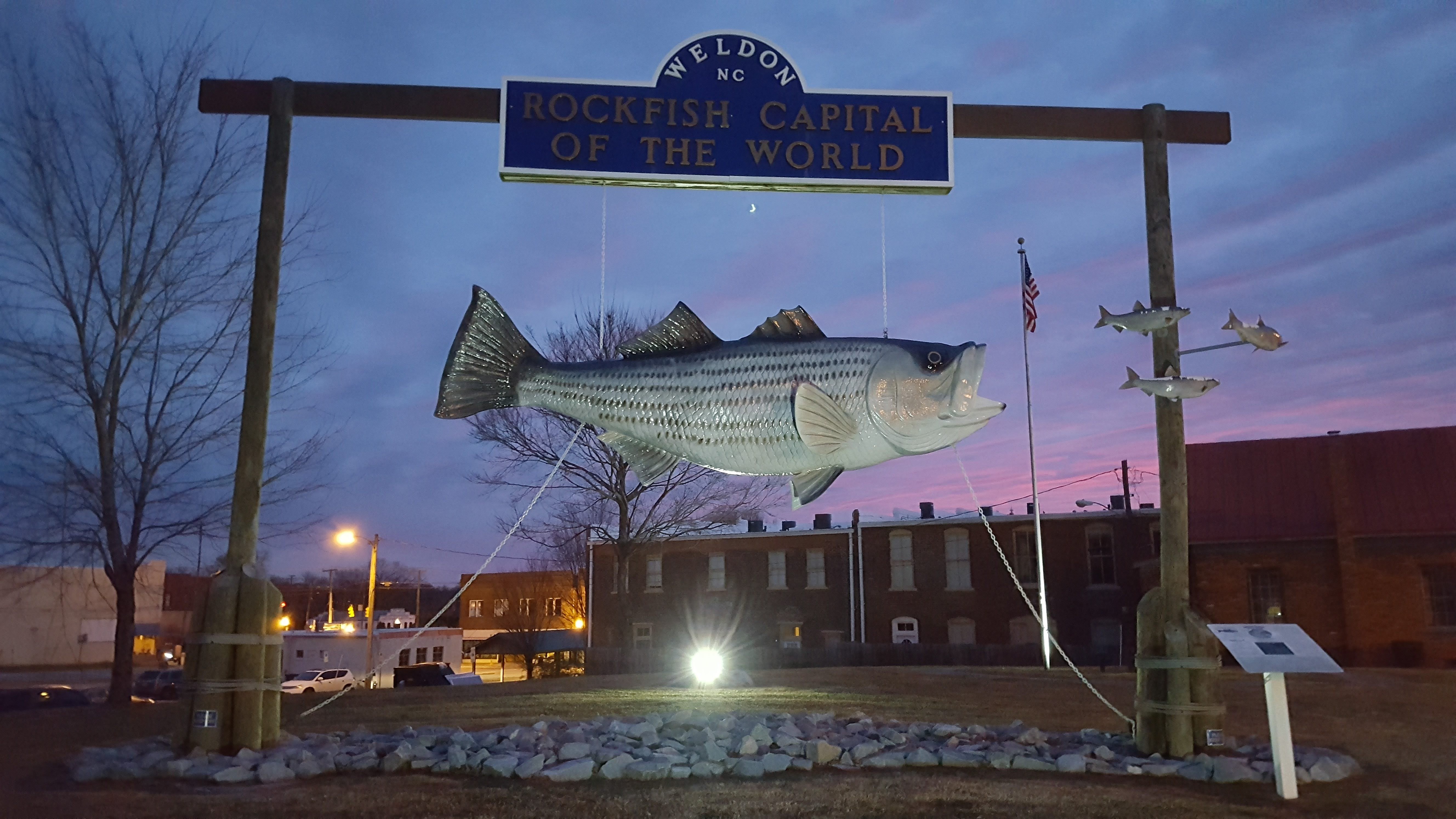
Town of Weldon Water Plant
Millions of gallons of water is treated here each day and supplies high quality drinking water to citizens of the Town of Weldon, Halifax and Northampton Counties.

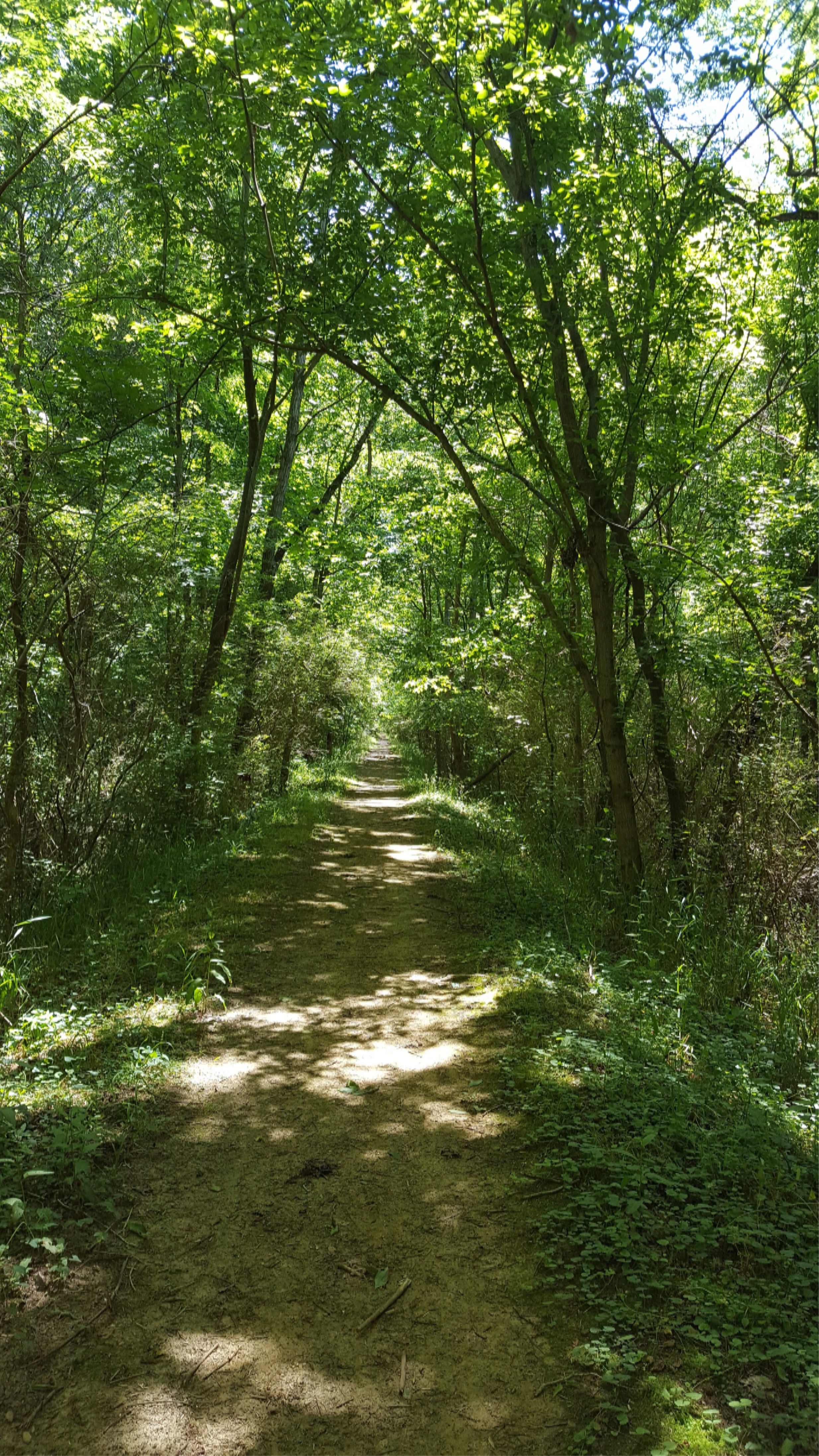
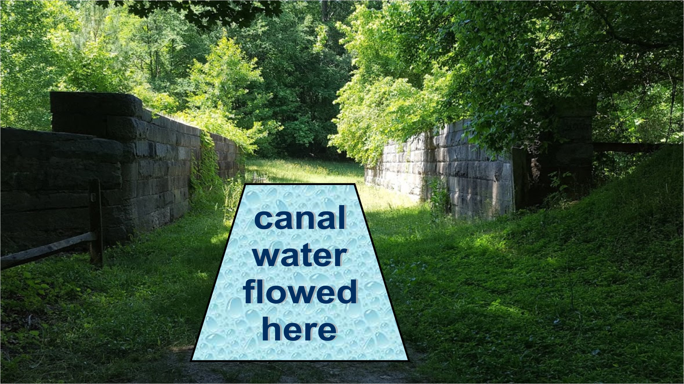
Roanoke Canal Trail
This is where the Canal can be seen and followed.
Walk or Bike on the Tow Path. To the left is where the water flowed in the Canal.
Because it was a slow moving body of water, livestock such as horses and oxen were used to pull the canal boats fill with supplies that were being transported from as far away as the mountains on their way to seaports.
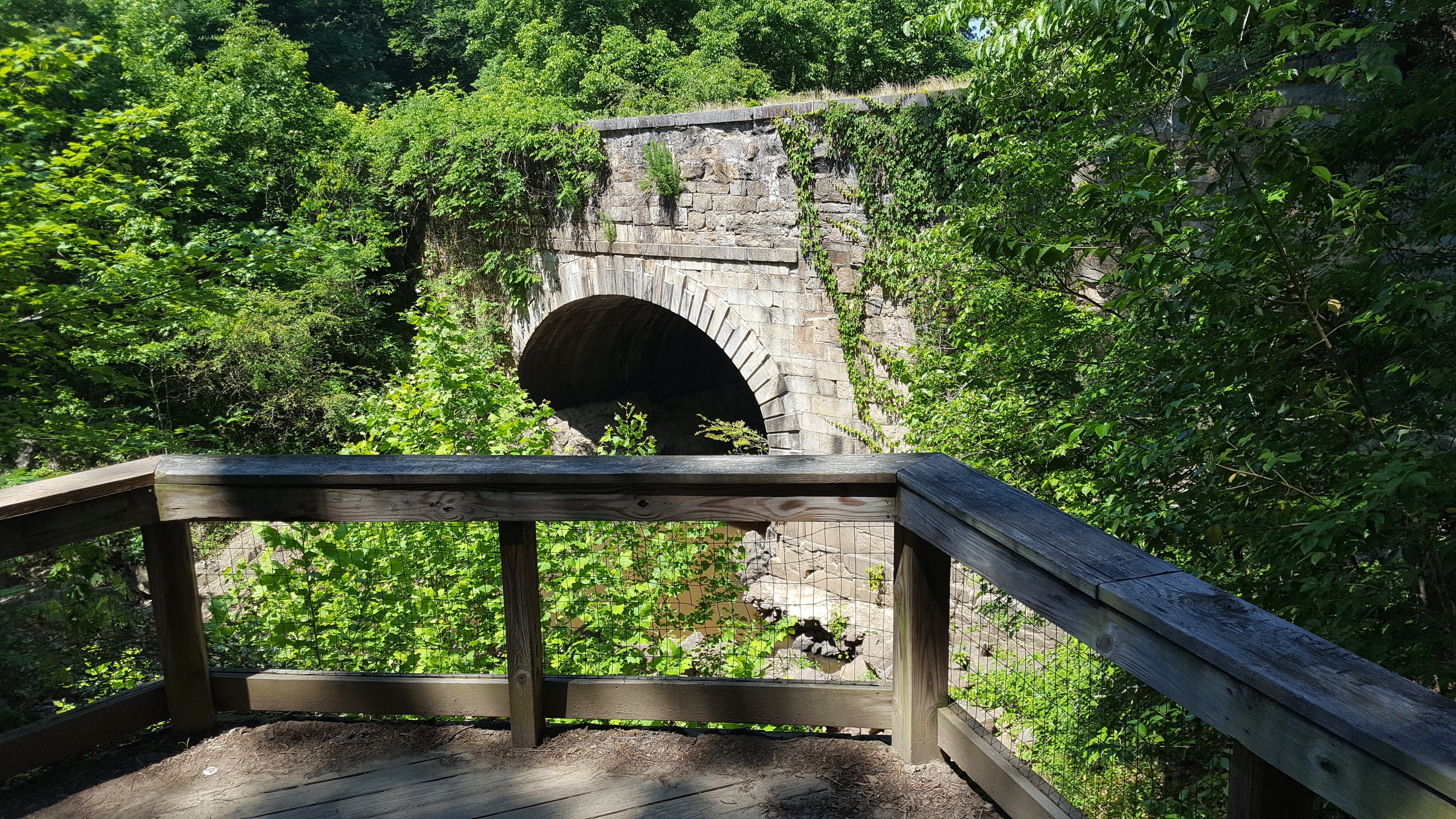
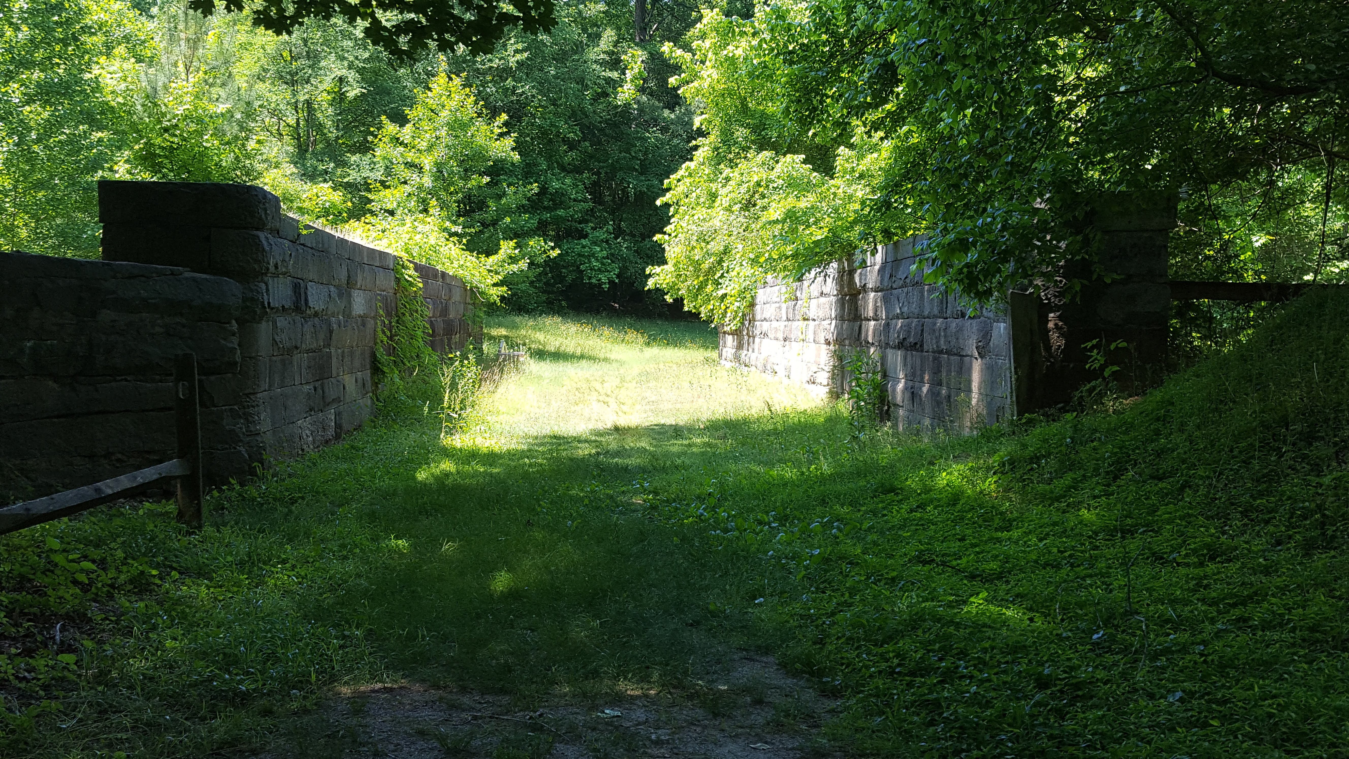
Roanoke Canal Aquaduct
Completed 1823, the Aquaduct allowed water to flow along the canal over Chockoyotte Creek below.
The informational signage here offers a view in the the construction process of forming solid rock into building stones.
Follow the path to the Observation Deck and relax listen to the peaceful waters of the small water falls of Chockoyotte Chreek.
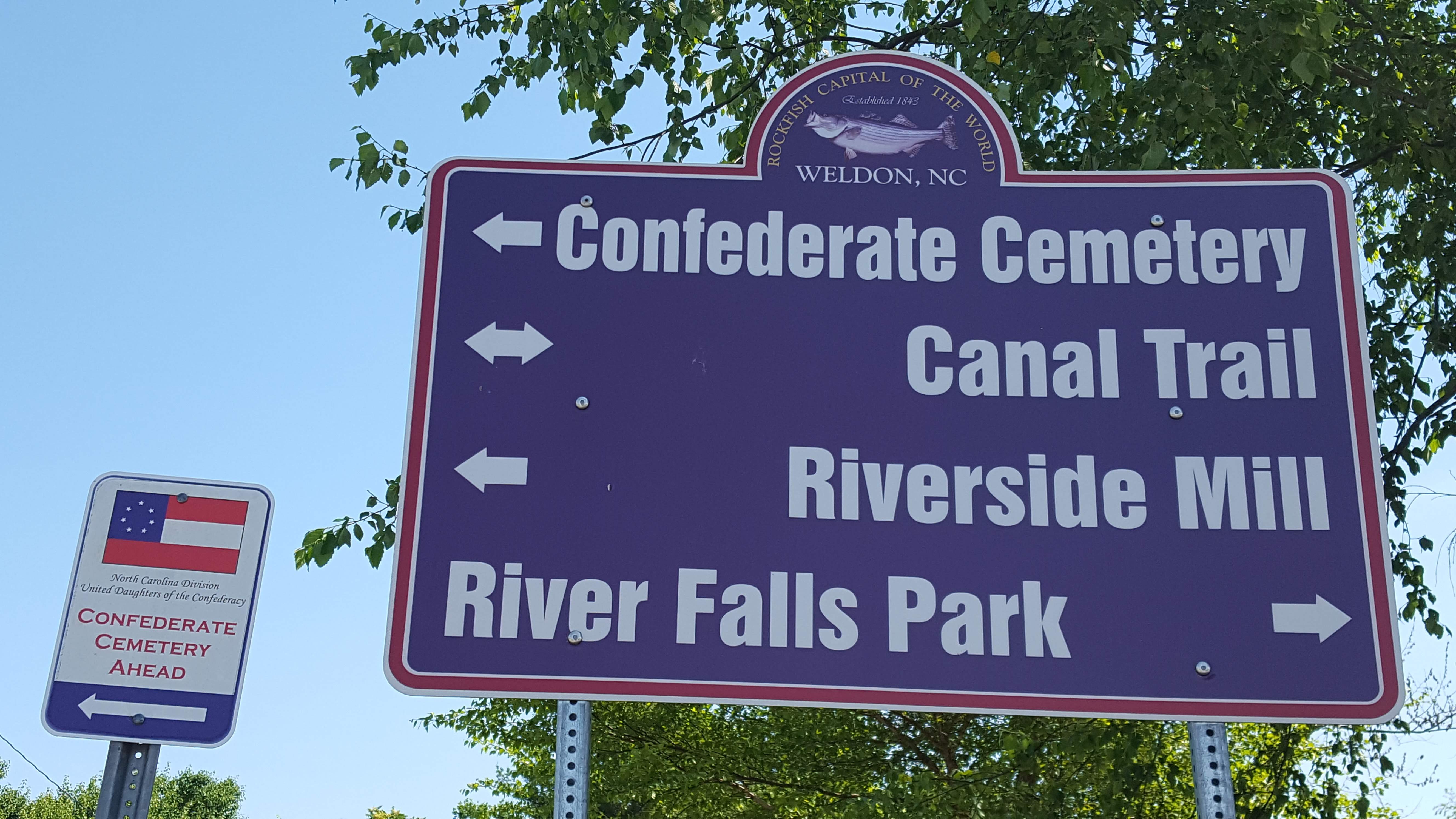
Make your way back and visit the Confederate Cemetery
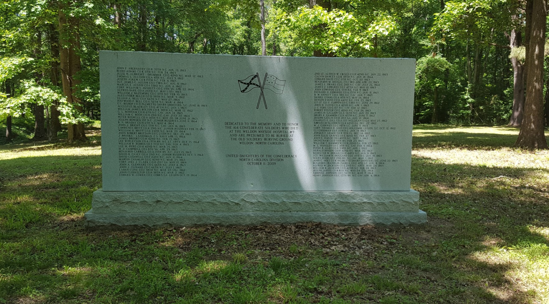
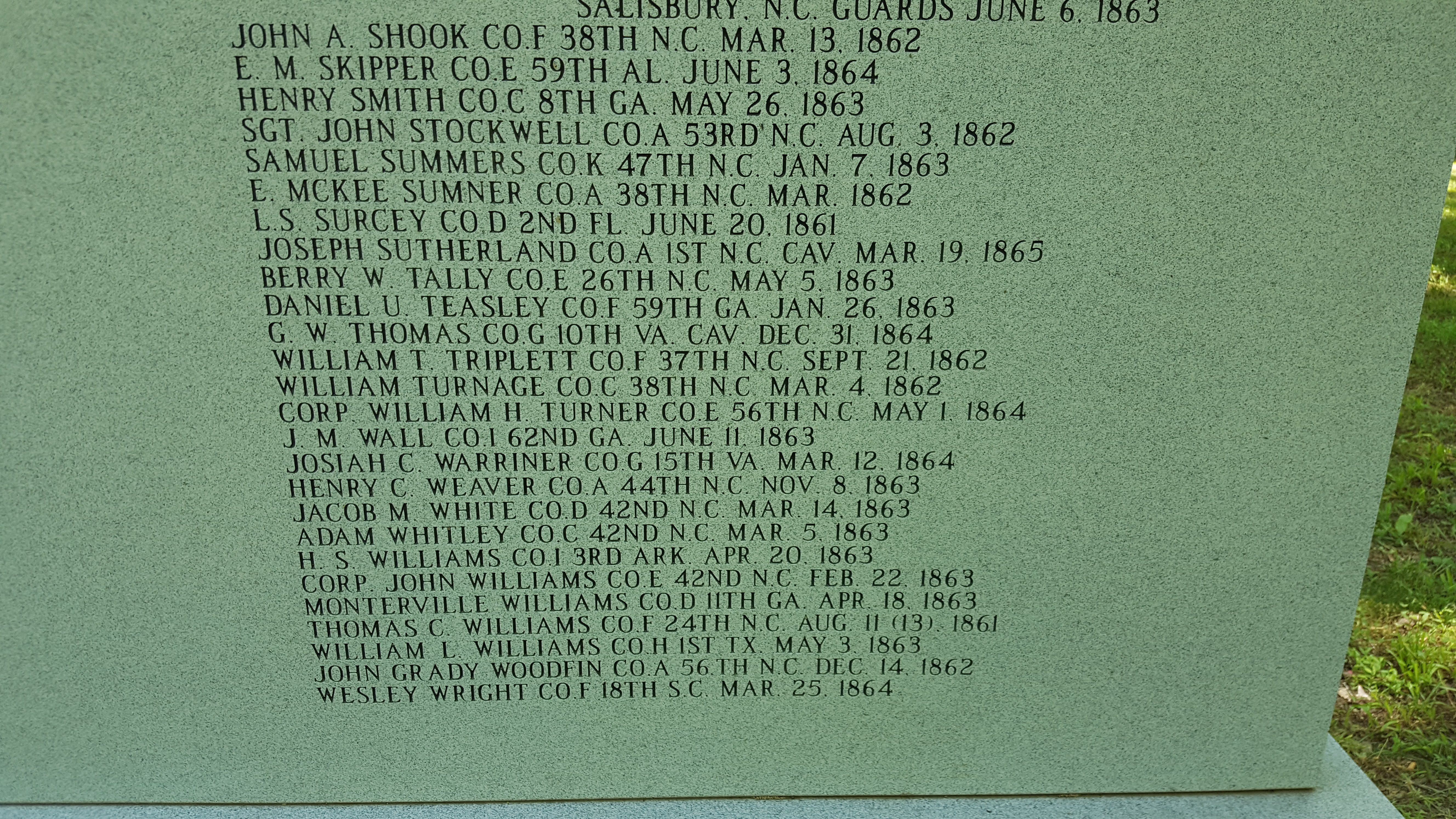
Here lies approximately 164 Confederate soldiers who died at Wayside Hospital #9, a small, wooden Methodist chapel that was outfitted as a hospital from 1861-2, were buried. The hospital was located across the street from current day Riverside Mill Antique Mall.
The large stone marker on site, purchased by the Roanoke Rapids Chapter of the United Daughters of the Confederacy list the soldiers’ names.
Read more at
Return to …
Return to Train Rail
To return to the intersection of 1st Street and Washington Avenue…
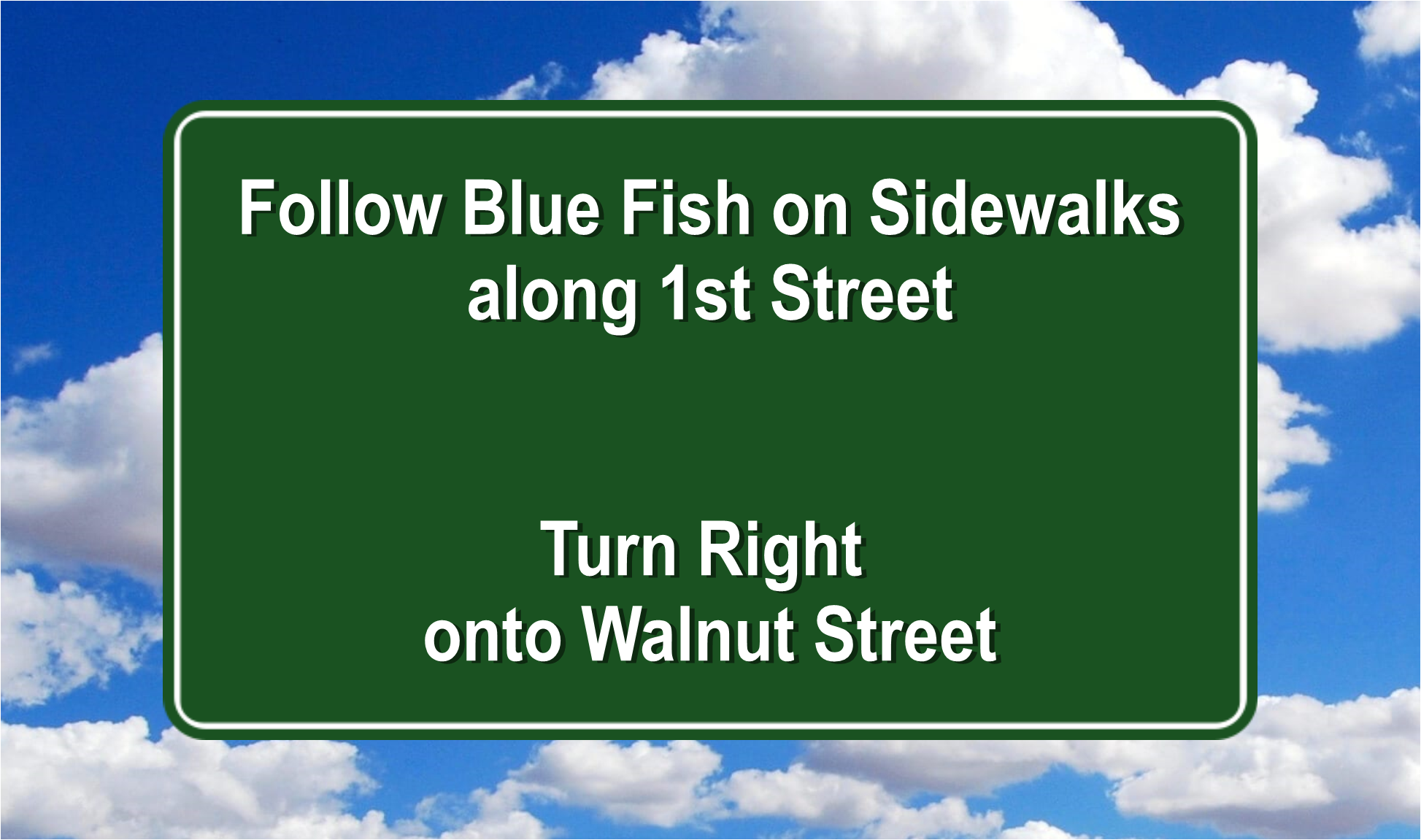
Follow the Canal Trail back to Riverside Mill (and return the Loaner Bike)
Follow Mill Street and
turn Right on Walnut Street
Turn Left onto 1st Street
Follow 1st Street to Washington Avenue.
Return to Beginning
To return to Rocky Rockfish Park
Walk along Washington Avenue, toward 3rd Street (2nd stop light)
Turn right onto 3rd Street at the 2 stop light.

RIVER TRAIL
From Intersection of 1st Steet and Washington Avenue Turn Right on First Street- 0.2 mile – Highway Marker – Roanoke Canal
- 0.2 mile – Underwater Mural in Hwy 301 Tunnel
- 0.3 mile – River Falls Park Observation Deck and Boat Landing, Restrooms